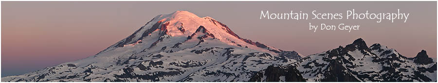
 |
| Mount Rainier from Emerald Ridge at sunset. |
The story:
Yesterday I did a rather ambitious trip to Mount Rainier. I left home at 6:00 am, and would not return until nearly 1:00 am this morning.
I drove down to the West Side Road and hiked up the road 8 miles to St. Andrews Creek, then 2.6 miles up to Klapatche Park. Here I soaked up the sun for a few hours, having the place entirely to myself. Finally, I ventured 0.8 miles over to St. Andrews Park, where I lounged for about an hour and chatted with a few thru hikers. From there, I descended 3.2 miles to the South Puyallup River, and ascended 1.8 miles to the prow of Emerald Ridge for sunset.
I arrived a little later than hoped, but still in plenty of time for the evening show. What a fantastic place!
As soon as the final show was over, I hurriedly packed my gear for the descent of the Tahoma Creek trail in the dark. Earlier in the my trip, I spoke with a couple of hikers that had ascended the trail. They gave it a clean bill of health. No issues, no problems - easy going.
 |
| Mount Rainier above meadows on Emerald Ridge. |
The climax of washouts was when nearly back to the road. I encountered the washout I had heard about from others, but heard rumor that WTA had fixed. This washout can't be fixed. The entire hillside collapsed, leaving a wall of rock in its place; a giant cliff that cannot be navigated around.
I soon realized the cairns had me crossing the river over a giant log, though I looked for all other options before committing. Once on the other side, three more cairns lead me along the river's far side, then ended. I spent over 1/2 an hour exploring all options. Soon I saw a headlamp ahead in the dark. I knew no one else was on the trail, so it must be coming from the road. It was less than 100 yards away. Frustrated, I again explored all options. I then weighed the terrain on the other side of the river where the trail should be, and realized aiming directly for it was the best option.
 |
| Sunset Amphitheater and the Tahoma Glacier on Mount Rainier. |
With wet boots I walked the final mile of road back to my vehicle, arriving around 10:30 pm.
Total stats 21 miles round trip, elevation gain ~5,600'.