I'm back from an exciting and successful climb of Mt. Olympus! Of course, for me this was much more than just a climb to the summit (which was plenty exciting with a final low class 5 exposed rock pitch). Equally important to me was our scenic high camp on Panic Peak and being able to share the experience amongst friends.
Of course, I now have a new friend to add to that list. Dave Skinner is a volunteer worker at the
UW research hut at the base of Panic Peak (if you look closely in the picture above, you will see the hut to the far left towards the top of the rock).

Dave was full of lots of stories, from
Jellybar (a World War II era supply drop that missed its mark and scattered on the glacier below) to days working under Rich
Marriot and performing various measurements of the glacier, snow and
firn. He shared stories of rescues, climbs and events he watched unfold before him - including the landing of aircraft on Snow Dome for supplies. He even brandished an old black and white photograph of Mr.
Fairchild's plane taking off from Snow Dome.
But most importantly, Dave had lemonade waiting for us when we returned from the summit, and lounge chairs sitting on the front deck to enjoy it in while staring at wonderful mountain before us. Does it get any better than that?
Of course, I've started this posting out by serving dessert first. This summit is earned after 18 long miles of trail,
beginning in the
Hoh Rain forest. The trail climbs out of the
rain forest to the grassy meadows of Olympic Guard Station and Lewis Meadows, then enters forest of cedar, Douglass Fir and Hemlock near Elk Lake before emerging in the sub-alpine meadows of Glacier Meadows.

Along the way there is wildlife to be seen, including deer, elk, bear and mountain goats. If you're really lucky, you might catch a glimpse of a cougar - or in my case several years ago, a cougar kill (elk
carcase very near the trail).
Above Glacier Meadows at 18 miles, the world changes to that of rock and ice. The change is dramatic and abrupt. Gone are the flowers, brush and trees. Staring you in the face is the rock-strewn ice of the Blue Glacier giving way to white ice and
seracs below the summit rocks of Mt. Olympus. The view from the moraine is awe-inspiring.

The lower Blue Glacier is unlike any other glacier I have seen in our state. It would appear to be better served in the
Karakorum in the way that it stretches down the flat valley. Of course, like most glaciers in our area, it has
receded over the years. Still, it is quite impressive. This view from the moraine at 19 miles is well worth the hike in its own right. It's quite a jewel.

Crossing the lower Blue Glacier is a wild experience as well. On previous trips it has always been snow-covered. Not this time. On this trip we were
greeted with bare ice and some very cool features; creeks running down the glacier and deep blue pools of water. It was amazing to see. Of course, the experience of walking on ice with a river of water running beneath you was quite an experience as well!
Once across the lower glacier it's time to ascend Snow Dome. This is where the views expand to include neighboring peaks and out to the Pacific Ocean.

The views become even more dramatic as you get up close and personal with the ice
seracs of the Blue Glacier. Much larger crevasses begin to appear as you traverse across Snow Dome towards the summit rocks. Of course, it's hard to watch your feet when your eyes want to wander higher above!
We were fortunate enough to have the mountain nearly to ourselves on the morning of our summit bid, only running into another party shortly after descending from the summit. This was in stark contrast to the day prior when the climbing ranger had 37 people signed out on the mountain. Karma appeared to be on our side.
We also had excellent weather and glacier conditions for our ascent (though the snow would turn soft quickly in the heat of the day).

The direct route to the summit looked doable, but was not recommended due to deep corn snow near the
bergschrund. This route has never been available to me on previous trips. It melts out fast.
Instead we made an ascending traverse to Crystal Pass and continued on the "backside" of the Blue Glacier. This area is incredibly scenic and not viewable from the summit due to the obstruction of Five Fingers and Middle Peak. I have always favored this route.

An ascent up the final leg of the Blue Glacier brings you to the top of Five Fingers and offers the gate to the summit block via a snow
cirque at its base.
Once in the snow cirque at the base of the summit block, the climb changes from glacier to rock. Sometimes the transition can be made more difficult due to a moat. This was not the case this time and the transition was easy.
We took a different route to the summit this time, following an easy ramp up to a low class 5 pitch on solid rock directly below the summit. The climbing was fun and soon there was no more rock to reach for. We were standing on it.

The summit of Olympus is a fun place to hang out. For me, it offers a different vantage of the sea of peaks comprising the Olympics and identifying them all can be challenging. It's a fun game.
Of course, eventually it all has to end. The trip is only half over and it's time to begin the second half of the journey - the long descent and trek out.
Of course, not before enjoying some lemonade!


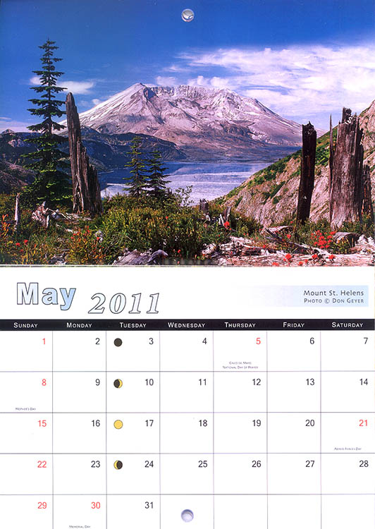
 Upon returning from Olympic National Park, I discovered my samples of Smith-Western's 2011 Mountains of Washington calendar had arrived at my doorstep. It was a nice treat to come home to!